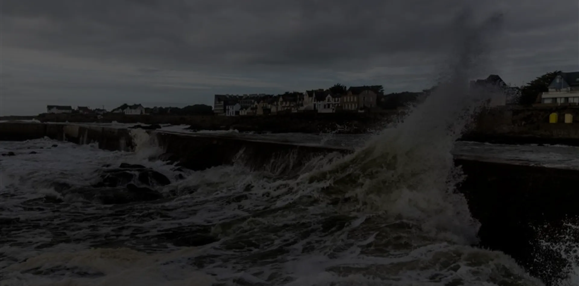


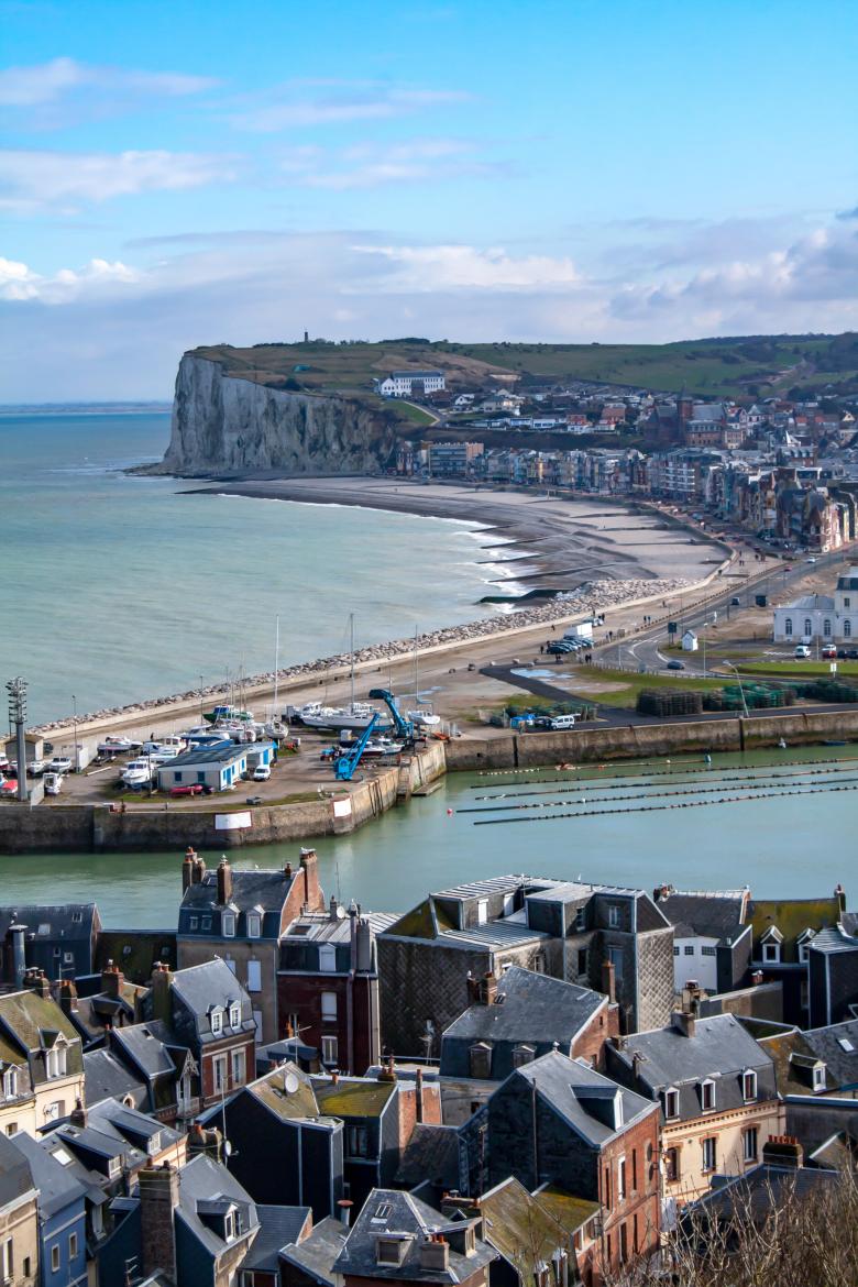
Le Tréport. Panoramic view of the waterfront—Somme—Picardy. Hauts-de-France
AdobeStock
Context and objectives
Across the Earth, coastal dynamics and global change threaten coastal communities and call adaptation policies into question. Yet, although they line half of the world's and France's coastlines, cliffs remain the great overlooked subject of research and public action. Existing work most often confines itself to describing the phenomena, explaining their evolution, and assessing the hazard: unlike low-lying coasts, no interdisciplinary research addresses decision support for their spatial reconfiguration. The 2021 Climate and Resilience Act and its mapping methodology in fact reflect this blind spot. This is all the more regrettable given that cliff-bordered territories possess elevated zones, insensitive to rising waters, and therefore valuable spaces to accommodate the reconfiguration of the coastline.
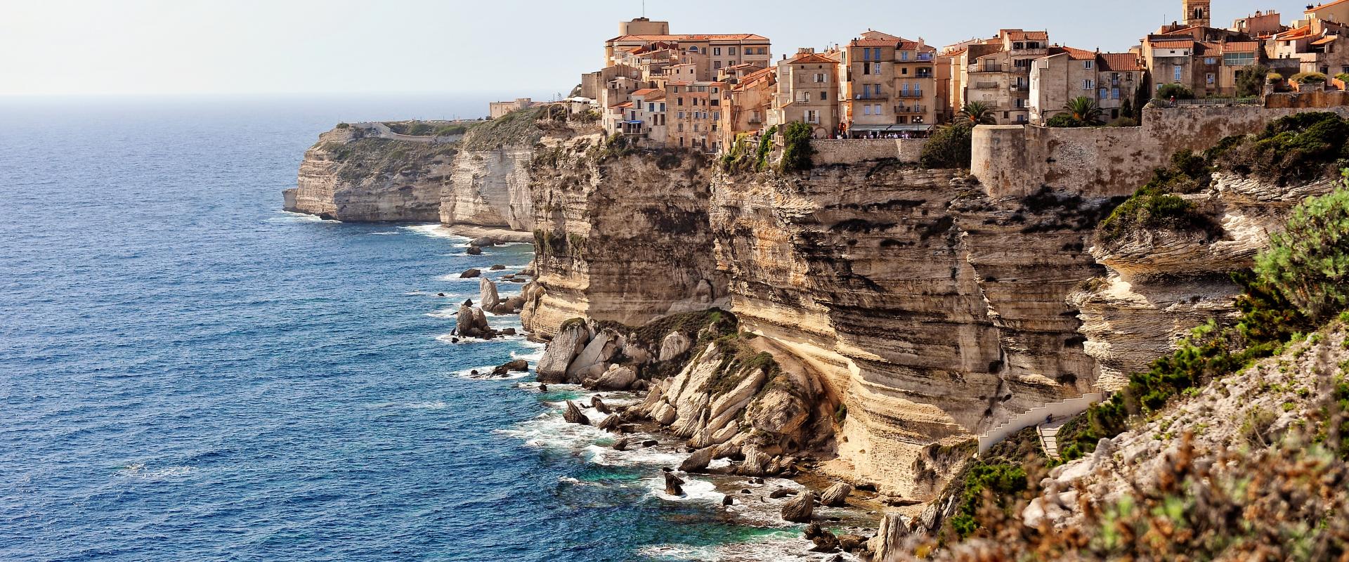
To fill this gap, the QUAND project examines, from a resolutely interdisciplinary standpoint, the adaptation trajectories of three French inter-municipal authorities bordered by cliffs: in Normandy (Eu–Le Tréport), the Basque Country (Ciboure, Urrugne), and Corsica (Bonifacio). These territories, all of which have volunteered for the support scheme of the Climate and Resilience Act in order to initiate their spatial reconfiguration, present very different geological and human contexts and very different traditions of risk governance. At the project's outset, each will have its own shoreline-retreat map, co-constructed for the 30-year and 100-year horizons: this is the moment when the first reconfiguration decisions crystallise reactions, and therefore the right moment to study this coastal system holistically.
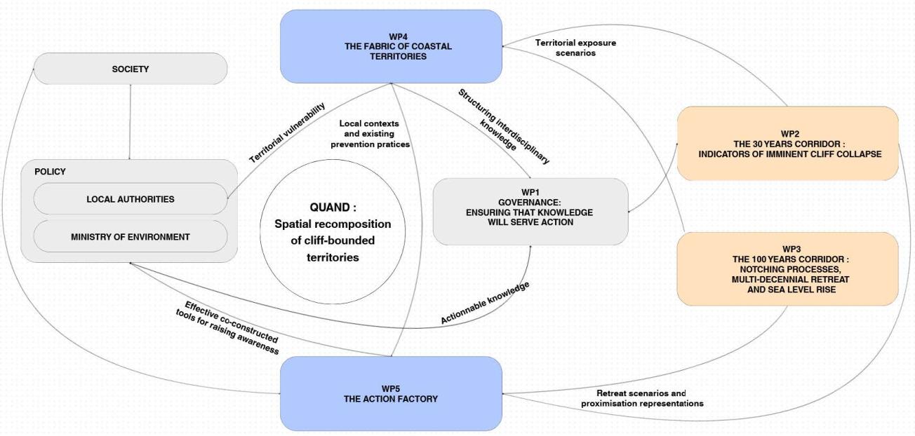
QUAND brings together an emerging consortium of specialists in geomorphology, human geography, environmental psychology, law, and science mediation. The project is interdisciplinary by design: its governance and timeline are conceived to maximise interactions between disciplines and the mutual acculturation of researchers. It unfolds across five work packages linking knowledge to action — from the governance of interdisciplinarity, to the production of indicators of imminent collapse (30-year corridor), to understanding multi-decadal retreat in the face of sea-level rise (100-year corridor), to the analysis of territorial vulnerabilities and the legal framework, and finally to the co-construction and evaluation of awareness-raising tools with residents.
Firmly embedded in a "Science with and for society" approach, QUAND is the first interdisciplinary project addressing this fraction of the French coast. This action research, in constant dialogue with populations, stakeholders, and authorities, aims to inform next-generation local and national policies and to demonstrate a functional and effective model of interdisciplinary integration.
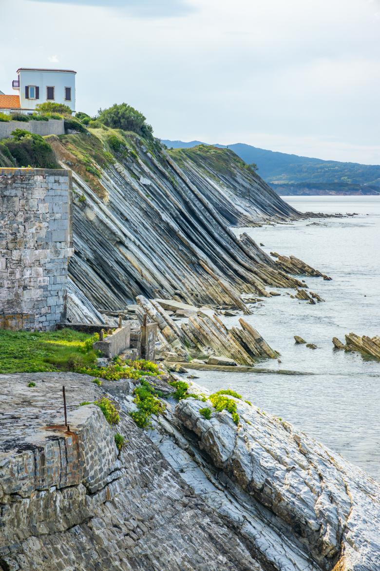
The Socoa Cliffs, in the Bay of Biscay, in Ciboure, France
AdobeStock
Expected outcomes
The QUAND project will document the frictions — physical, territorial, personal, and societal — associated with the implementation of the Climate and Resilience Act, and will propose new elements of analysis, understanding, and operationalisation to support the adaptation of cliff-bordered coastal territories. These lessons will be shared with decision-makers at the local, regional, and national scales.
Some specific expected outcomes:
- A new indicator of the location and magnitude of future cliff collapses, based on the mapping of overhangs from point clouds (airborne LiDAR), suitable for routine use by coastal observatories to update risk maps.
- A shift from a diffuse hazard to a deterministic cliff-retreat hazard at the 30-year horizon, more tangible from the standpoint of risk perception.
- New constraints on the mechanisms and rates of cliff retreat under the effect of sea-level rise (the role of fracturing and of sediment buffering), supported in particular by cosmogenic dating (¹⁰Be), and an online calculator (Rococo) to estimate retreat rates.
- A matrix for analysing territorial vulnerabilities and a reading of the legal levers and constraints that can be mobilised for adaptation.
- Mediation and awareness-raising tools co-constructed with local residents, whose effectiveness will be quantitatively assessed through a controlled experimental protocol, in order to identify the psychological levers that foster the adoption of adaptive behaviours.
- Feedback and recommendations for local and national public policy, with a view to dissemination to other territories of the French coast.
Project organization
Project leader
Thomas Dewez (BRGM)
Thomas Dzewez works in the Risk Management Division at BRGM.
Partners