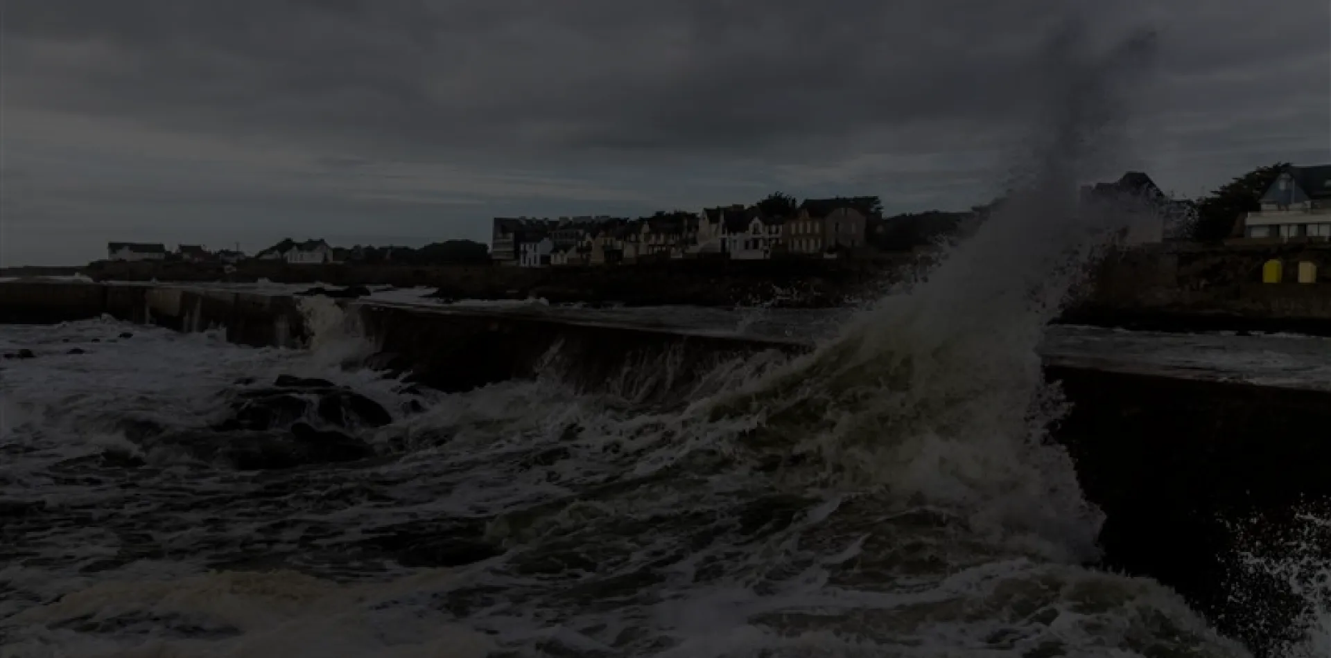

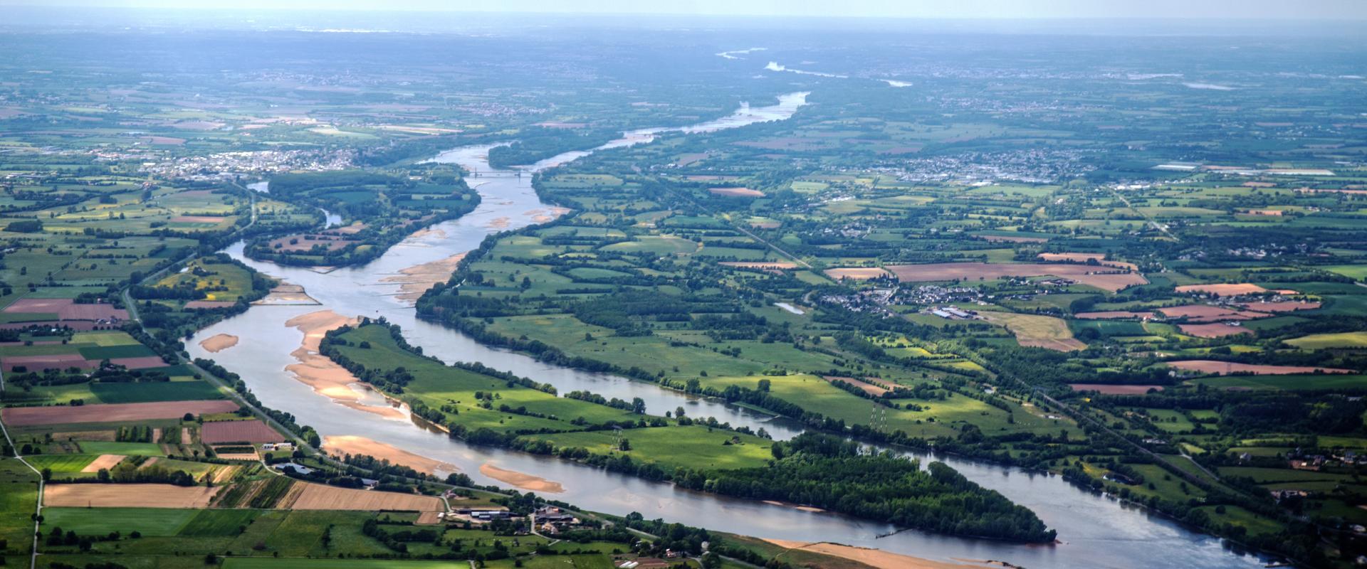
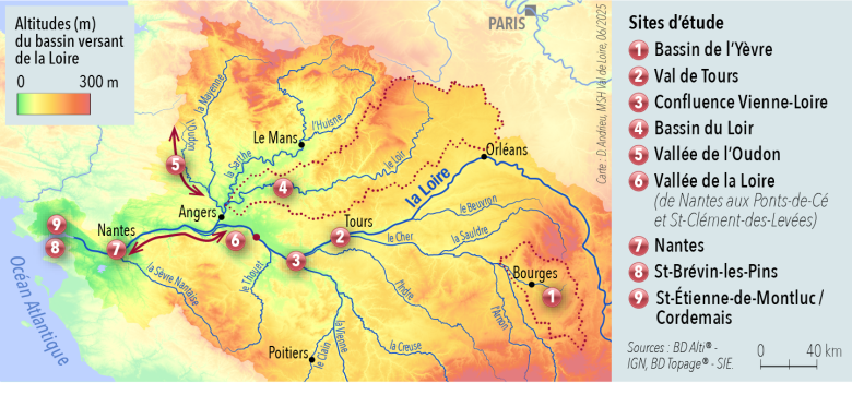
TETHYS Project Study Sites.
Projet TETHYS
In 2020, mean climate warming reached 1.40 to 1.90 °C, exceeding the targets set by the Paris Agreement. The habitability of the planet, for both human and non-human life, is clearly under threat. TETHYS investigates the technical, socio-economic, and political dimensions of the scenarios associated with hydroclimatic multi-hazards, through the application of the socio-spatial justice framework within the Land–River–Sea continuum, using the Loire basin as its study area.
Understanding water-related risks requires an in-depth analysis of the combination of hydroclimatic multi-hazards under conditions of uncertainty:
- shifts in hydrological hazards driven by climate change, including droughts, floods, sedimentary surpluses or deficits, and the erosion of riverbeds, banks, and coastlines;
- the potential combinations of these hydrological hazards, such as floods coupled with sediment flows, drought or clay shrink–swell, as well as coastal flooding occurring alongside runoff and the erosion of coastlines and banks;
- these combined risks are amplified to differing degrees depending on the socio-economic contexts of the territories concerned.
TETHYS aims to assess the significance of the continuum concept within a multidisciplinary framework in order to achieve socio-spatial justice across three dimensions: a data continuum, a social continuum, and a policy continuum. This threefold hydro-socio-political continuum underpins the construction of a transdisciplinary analytical framework that addresses questions of continuity and connectivity, of solidarity and justice, while identifying the barriers to and catalysts of these continuums.
TETHYS is structured around three research questions:
- How can the challenges of data sharing be met in the face of multi-hazard events?
- How can complementarities, forms of solidarity, and conflict-resolution mechanisms be identified across practices (professional, social, and spatial) in territories affected by multiple risks?
- How can the effectiveness of public policies be assessed across the continuum?
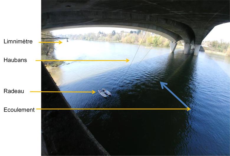
Exemple d'instrumentation au niveau d'un pont de la Loire.
Projet TETHYS
Challenge 1. Making multidisciplinarity a driver of research.
TETHYS is a multidisciplinary initiative adopting a physical, spatial, and social approach.
A physical, measurement-based approach: an analysis will be conducted using topo-bathymetric LiDAR data covering the entire engineered reach of the Loire between Nevers and Nantes, complemented by a study of hydro-sedimentary processes. It will address flooding and the structural stability of protection and crossing infrastructures.
Analysis of practices and perceptions: landscapes represent the intersection of a spatial representation and a material (physical and ecological) structure. TETHYS pursues a landscape analysis through the social perceptions of inhabitants and the landscape-design practices adopted by public policy.
Analysis of policy and law: TETHYS examines public policies for the management and prevention of hydroclimatic risks, together with their implementation instruments. How do public policies apprehend the diversity of hydrological risks through planning instruments?
Multidisciplinarity through a geomatics approach: by breaking down disciplinary silos, TETHYS analyses how risks coexist or influence one another. This approach fosters a nuanced understanding of the vulnerabilities linked to exposure to multiple risks. The cartographic challenge lies in grasping how the structuring of data generates new forms of (dis)continuity, and in proposing ways to overcome them.
Challenge 2. Multidisciplinarity applied to the Loire basin.
The Loire basin is the largest hydrographic basin in metropolitan France. It crosses more than 7,000 municipalities and encompasses a population of 11.5 million inhabitants, of whom 4 million live along the river itself. The climatic complexity of the basin calls for the development of connections, linkages, and forms of solidarity between territories.
Challenge 3. A local approach in the service of spatial transformation.
The risks and consequences associated with climate-related challenges are so profound that substantial modifications to spatial planning, communication infrastructure, and flood-defence works may prove necessary. Transformation must be context-adapted, taking local implementation conditions into account in order to prevent maladaptation (technical, economic, social, or political).
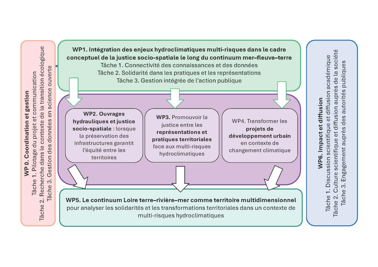
Project organization
Project leader
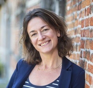
Mathilde Gralepois, full professor of spatial and urban planning at the Université de Tours.
Mathilde Gralepois
Mathilde Gralepois
Mathilde Gralepois is a full professor of spatial and urban planning at the Université de Tours. She works within the École Polytechnique Universitaire, in the Department of Planning and Environment, and is a member of the CITERES laboratory (Cities, Territories, Environment and Societies). Her academic background is marked by a specialisation in geography and spatial planning.
Her work is part of a broader reflection on the dynamics of city-making in the context of climate risk. Mathilde Gralepois specialises in climate-change adaptation policies and risk management. Her research is embedded in European projects, notably the SOLARIS project (2021–2025), which she coordinates and which addresses socio-spatial justice in the face of climate risks. Her recent work has given rise to several publications, including Pluralising knowledge to think futures under uncertainty (2024) and Overcoming barriers to integrate more justice into climate change policies (2024), which interrogate the place of justice and of knowledge in territorial adaptation policies confronting hydroclimatic risks.
She served as Vice-President for Ecological Transition at the Université de Tours from 2021 to 2024. In parallel, she contributes to public expertise as a member of the Scientific Council of the Adour-Garonne Water Agency and of the steering committee of the Local Flood Risk Management Strategy of Tours Métropole since 2023.
Partners