


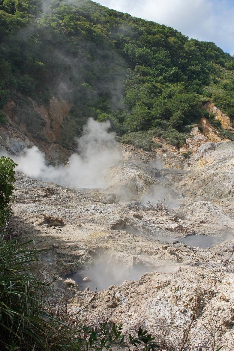
Sulfur Springs, Soufrière, Saint Lucia
AdobeStock
Context and objectives
La Soufrière in Guadeloupe and Mont Pelée in Martinique are among the most dangerous volcanoes in Europe, owing both to their eruptive potential and to the exposure of populations: nearly 640,000 people live within 30 km of these two edifices, both now placed on yellow alert after several years of non-eruptive unrest. With nineteen volcanoes active over the past 10,000 years and up to 1.5 million people living close to an active volcano across its territories, France is the third most exposed country in the world to volcanic threat.
Yet the territorial management of a major eruptive scenario presupposes having, beforehand, an objective and shared scientific representation of the multiple impacts of such an eruption. This representation is today sorely lacking for a "worst-case" HILP-type scenario (High Impact, Low Probability). These rare but devastating events largely elude the French crisis-response doctrine, formalised in the ORSEC plan (the national civil-protection emergency-response framework), which rests almost exclusively on the mass evacuation of threatened populations.
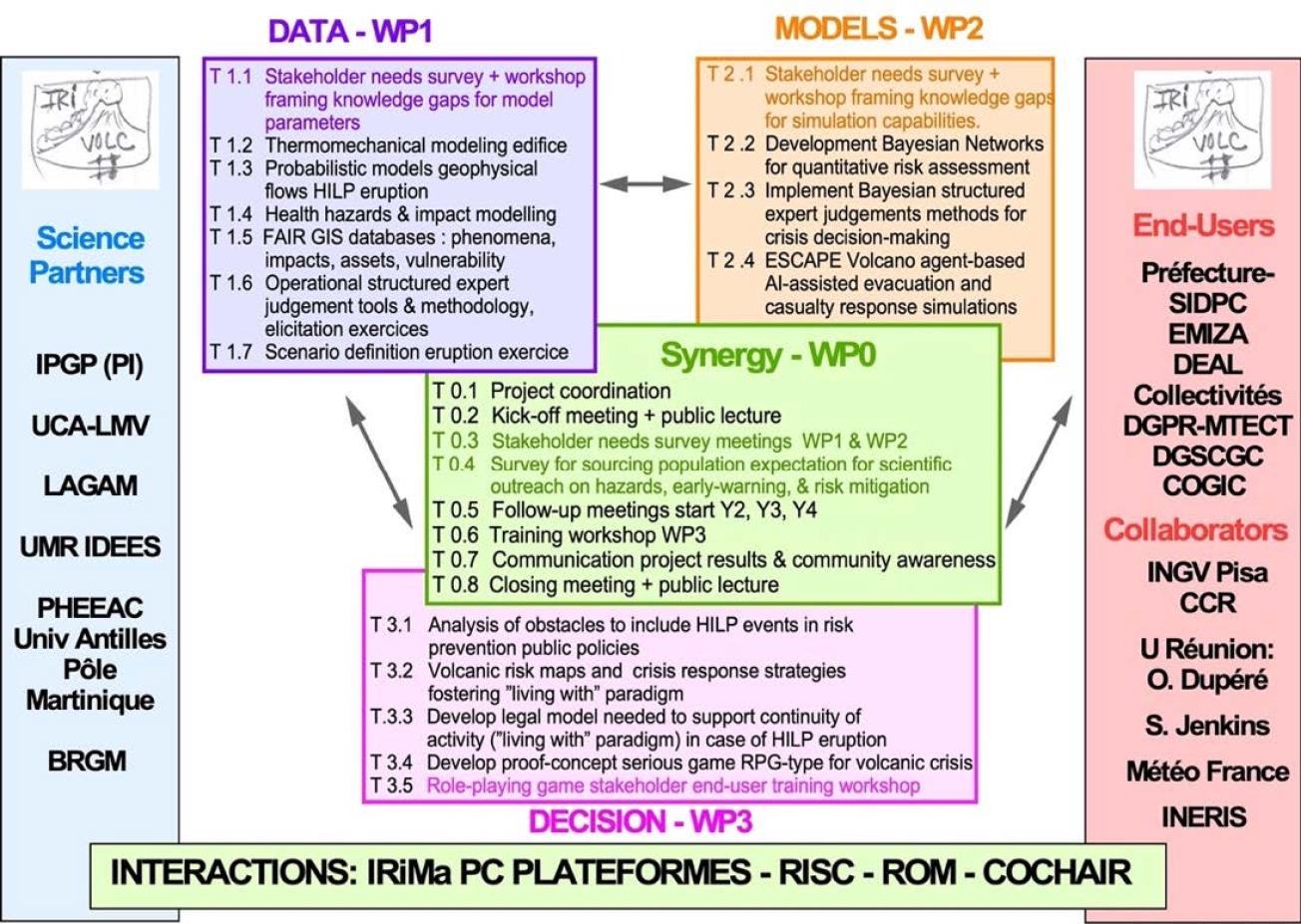
The IRIVOLC project intends to fill this gap by developing, beyond the state of the art, the science and the decision-support tools that crisis stakeholders need in order to confront a major HILP volcanic eruption. It is organised around three scientific challenges: simulating, at high resolution, the hazardous volcanic phenomena generated by a major explosive eruption (pyroclastic flows, flank collapses, associated tsunamis, ash dispersal); quantifying, in time and space, their multiple societal impacts and evacuation strategies, using agent-based models that incorporate human behaviour; and testing the effectiveness of crisis-response strategies in order to produce risk metrics and decision tools.
Structured into four work packages, IRIVOLC is fully embedded in the "data – models – decision" continuum at the heart of Axis 1 of the PEPR IRiMa. Above all, the project aims to support a paradigm shift in response doctrine: beyond evacuation alone, it seeks to recognise that a major eruption generates lasting impacts well beyond the directly threatened zone, and to prepare a complementary strategy of "living with" the risk, based on a business-continuity plan for the populations who will have to preserve their living conditions on the periphery of the danger zone.
The consortium brings together a broad set of researchers in geology, volcanology, mathematics and numerical modelling, physical and social geography, and political science. IRIVOLC draws on the volcanological observatories of Guadeloupe and Martinique, national monitoring infrastructures, and a long-standing collaboration with the operational actors of crisis management, in the overseas departments as well as in mainland France.
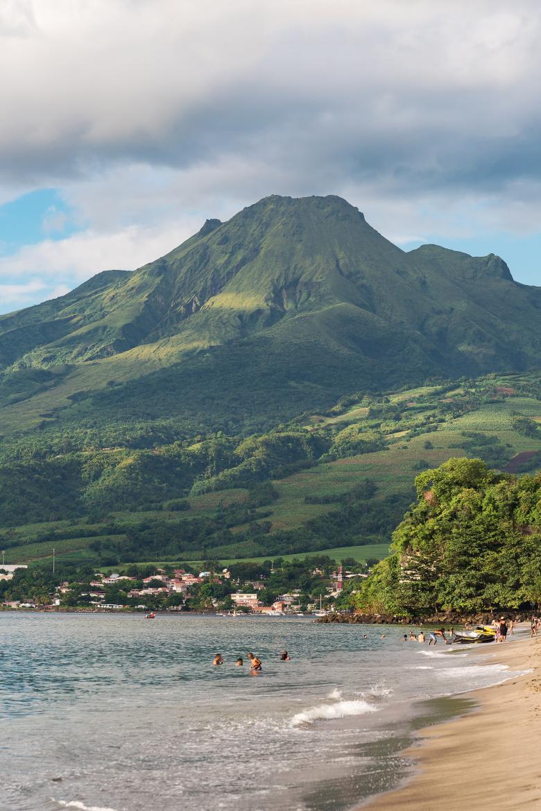
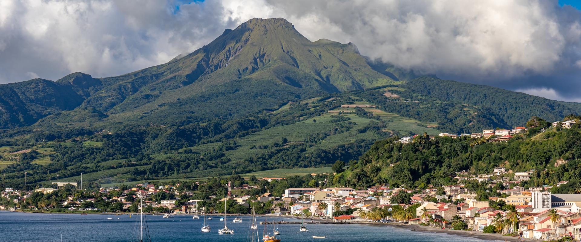
Mount Pelée as seen from Anse Turin Beach
AdobeStock
Expected outcomes
In keeping with the programme's ambition to strengthen interdisciplinary research in the service of risk governance and public decision support, IRIVOLC will provide new data, new models, and probabilistic tools intended to support the authorities' crisis-response strategies. The integrated dynamic mapping of risks, both deterministic and probabilistic, will offer a more objective basis for training the authorities and raising community awareness, by sharing a common representation of volcanic reality accompanied by a quantified uncertainty.
Some specific expected outcomes:
- Interoperable FAIR geographic databases on phenomena, impacts, exposed assets, and vulnerabilities, accessible to modellers and to crisis-management stakeholders in Guadeloupe and Martinique.
- Probabilistic hazard maps for a major eruption of La Soufrière and Mont Pelée, covering in particular pyroclastic flows, flank collapses, tsunamis, and ash dispersal, including the assessment of the respiratory hazard linked to fine ash.
- An operational Bayesian risk-assessment network, integrating hazard and vulnerability data as a decision-support system for crisis management.
- Dynamic, AI-assisted agent-based evacuation simulations, incorporating human behaviour, the evolution of the hazard, and a casualty-impact model
- Structured expert-judgement tools for decision-making under uncertainty.
- A serious game and an interactive volcanic-crisis simulation tool, serving as training supports for crisis-response actors and as awareness-raising tools for the public, including in schools.
- A major contribution towards establishing a national volcanic-response plan and towards the emergence of a complementary doctrine of "living with" the risk.
Project organization
Project leader
Jean-Christophe Komorowski (IPGP), physicist and full professor, specialising in volcanology

Jean-Christophe Komorowski
Jean-Christophe Komorowski
Jean-Christophe Komorowski is a physicist (exceptional class, 2nd echelon) in the Corps of Physicists and Astronomers (CNAP, Ministry of Higher Education, Research and Space), of professorial rank, specialising in volcanology and assigned to the Institut de physique du globe de Paris, Université Paris Cité.
Jean-Christophe Komorowski served as scientific head of the Volcanological and Seismological Observatories of the Institut de physique du globe de Paris (IPGP) for a decade, from 2016 to 2026, and has directed the National Volcanological Observation Service (CNRS) since 2017. He is active in the scientific and operational management of the Mayotte Volcanological and Seismological Monitoring Network (REVOSIMA). He was Director and scientific head of the Volcanological and Seismological Observatory of Guadeloupe (1997–2001), of the Volcanological and Seismological Observatory of Martinique (interim, 2023–2024), and interim director (2008–2009) of the Montserrat Volcano Observatory (British Overseas Territory). Jean-Christophe Komorowski has taken part in 14 oceanographic campaigns, in the Caribbean and off Mayotte, three of them as chief scientist.
Partners