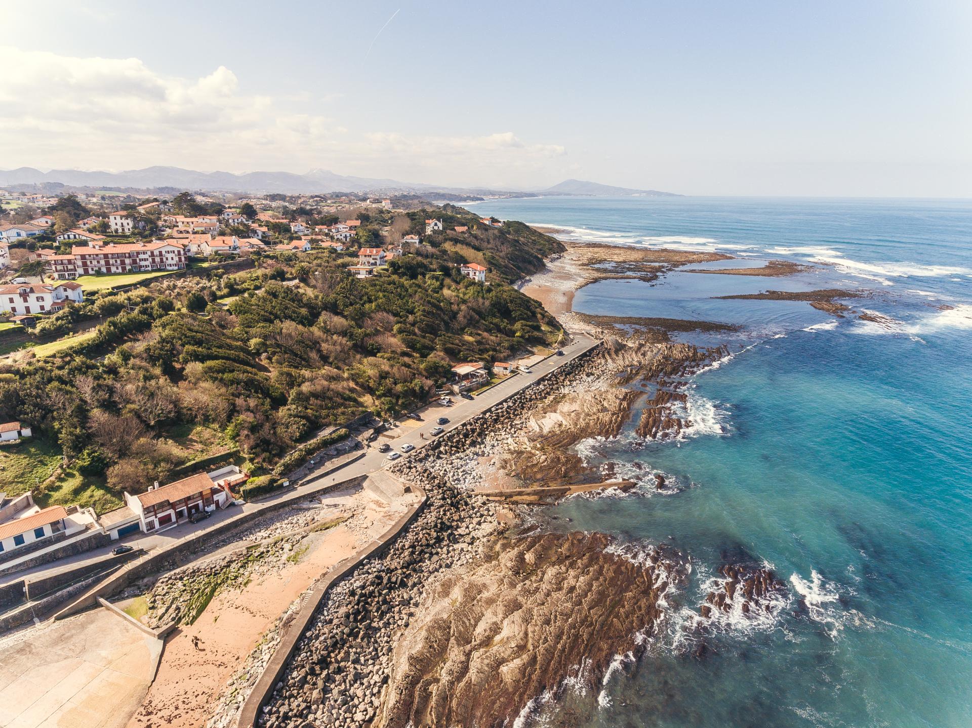
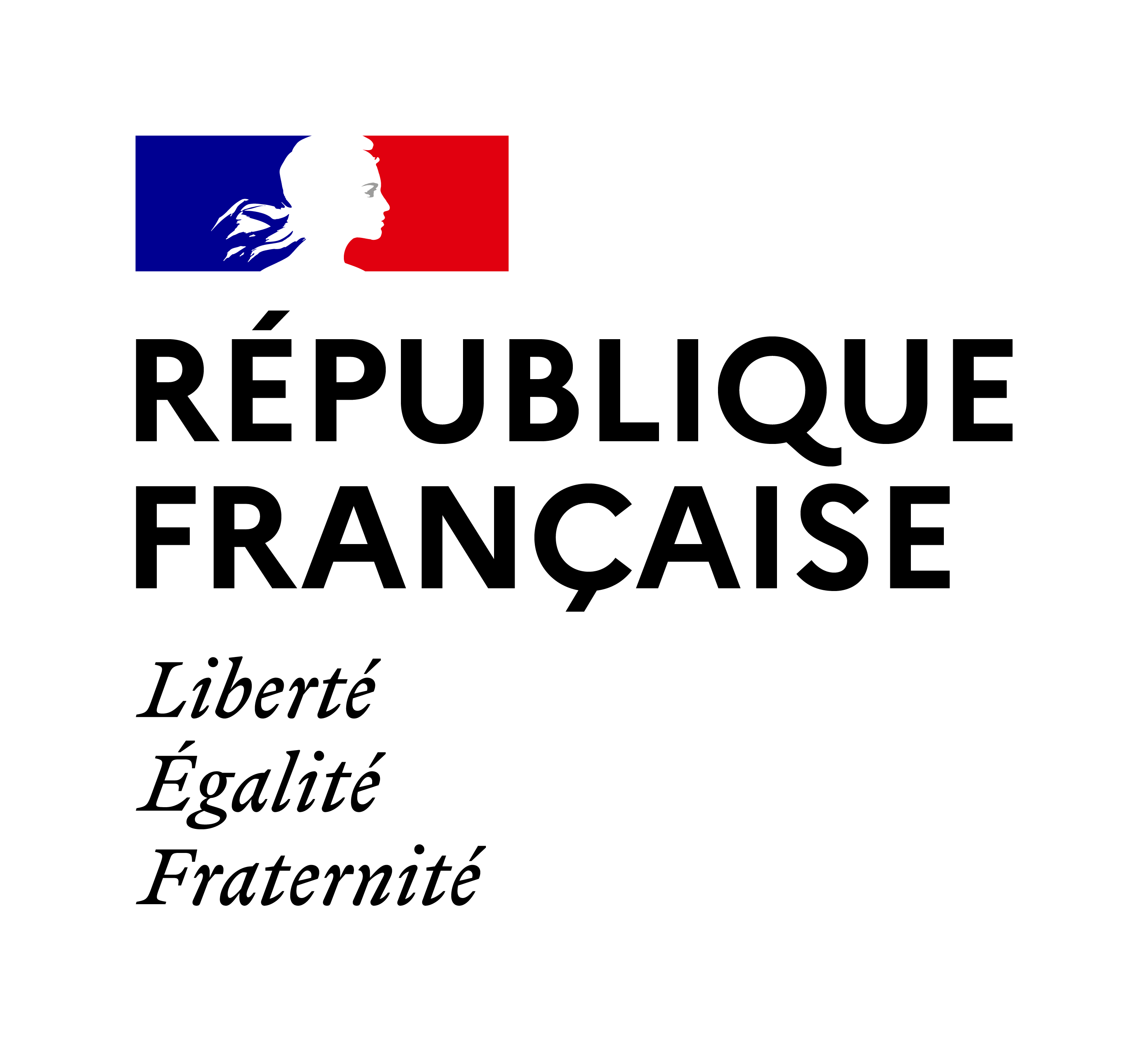
Tempête automnale sur l'Atlantique (2017)
Change the text size
Website accessibility
  • fr
  • en
PEPR Risques
A program run by
Logo du BRGM en couleurs logo CNRS Université Grenoble Alpes
Tempête automnale sur l'Atlantique (2017)
  • About
    About
    • The IRiMa Risks Research Program
    • Scientific strategy of the IRiMa Risks Research Program
    • Governance
    • Partners
  • Scientific pillars
    Scientific pillars
    • 1. Science and society – risks, resilience, and adaptation strategies
    • 2. Data, quantitative models, and algorithms for risk analysis and decision support
    • 3. Risks in mountain and coastal areas
    • 4. Risks in urbanized and industrial areas/densely populated zones
    • 5. Risks in overseas territories and intertropical zones
    • 6. Platform infrastructure
  • Flagship projects
    Flagship projects
    • 1. Collective chairs (COCHAIRs)
    • 2. Mountain risks (IRIMONT)
    • 3. Coastal risks (IRICOT)
    • 4. NaTech risks
    • 5. Overseas risks
    • 6. Risks and societies (RISC)
    • 7. Digital platforms
    • 8. International actions (INTERRISK)
    • 9. Climate-related risks (IRICLIM)
  • Call for projects
    Call for projects
    • The calls
  • Open projects
    Open projects
    • ARDEMACS
    • CLAIM
    • CORAI
    • DECIDUNE
    • HYDROCLIMAT’OC
    • HaléGari
    • IRIVOLC
    • MOBILIENCE
    • QUAND
    • RISE-Guadeloupe
    • SEISMART
    • TETHYS
  • News
  • Events
  • Job offers
  • Newsletter
  • Outputs / resources
  • Espace collaboratif RESANA
  • Contact
Reportage photographique de l'Observatoire de la Côte Aquitaine 2018

The IRiMa Risks research program

About
Scientific pillars
Targeted projects
Call for projects

News

Résultat d'un prototype de suivi du danger de feu de forêt
News
Webinar — Developing interactions between the Climate (TRACCS), Math-Vives and Risk (IRiMa) programmes
22 July 2026
Field trip above the Lautaret Pass.
News
IRIMONT - Three days in the Ecrins: between rocky glaciers, accessibility of high-altitude areas, and AI for mountain risks
21 July 2026
Visualization through the User Web portal of VIGIRISKS of the damage results for mapping deformation of slow landslides in La Reunion
News
Digital platforms: the "intelligent mapping" building block, or mapping of hazards and risks through artificial intelligence
25 June 2026
All the news

Scientific papers

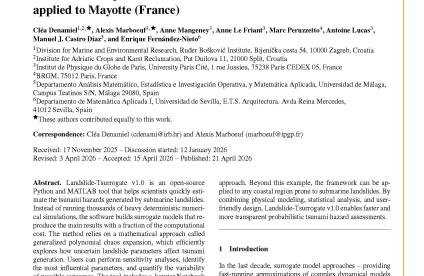
Landslide-Tsurrogate v1.0: a computationally efficient framework for probabilistic tsunami hazard assessment applied to Mayotte (France)
This work is part of the Overseas risks project.
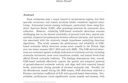
Can Sentinel-1 reliably provide regional-scale information on avalanche activity.
Can Sentinel-1 reliably provide regional-scale information on avalanche activity
This work is part of the Mountain risks (IRIMONT) project.
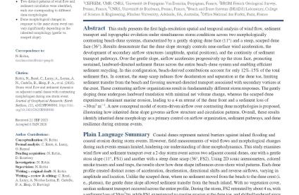
Storm Wind Flow and Sediment Dynamics on Adjacent Coastal Dunes With Contrasting Morphologies During One Storm Event
Storm wind flow and sediment dynamics on adjacent coastal dunes with contrasting morphologies during one storm event
This work is part of the Coastal risks project (IRICOT).
All papers
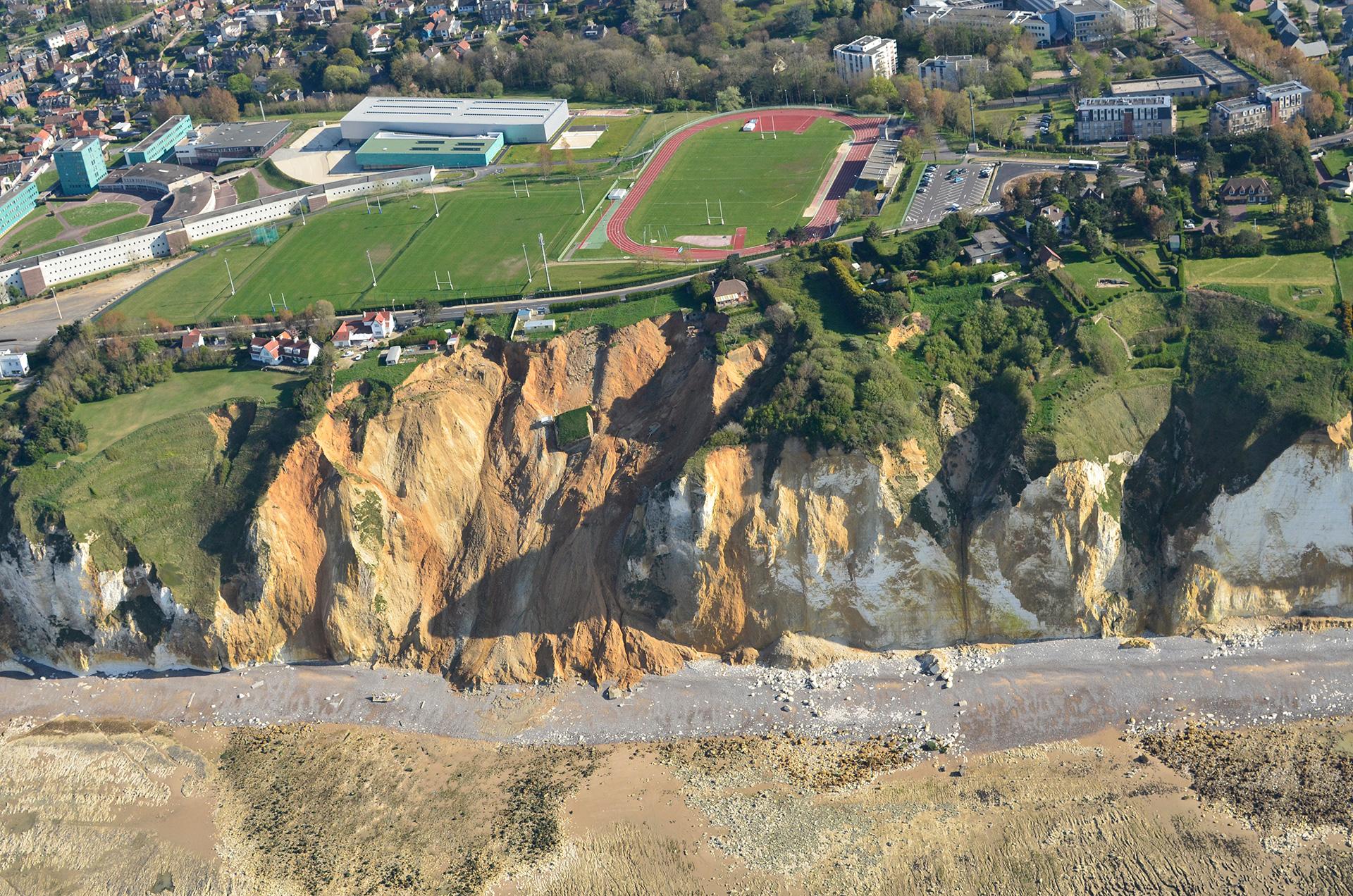
Effondrement lié à une poche de matériaux argilo-sableux au sein d’une falaise de craie entre Dieppe et Pourville menaçant une route, des habitations et un stade (Seine-Maritime, 2014).

Key figures

    • 51.90
      M€ 8-year budget

    • 6.00
      Scientific pillars

    • 8.00
      Targeted projects

    • 4.00
      Risk areas under study

Funders and operators
logo république française
logo France 2030
logo ANR
Carrière souterraine
Contact us
  • Contact
  • Accessibility
  • Legal information - Credits
  • Personal data protection
  • Cookie management
logo site satellite BRGM
BRGM - 3 avenue Claude-Guillemin - BP 36009 45060 Orléans Cedex 2 - France - Tél. : +33 (0)2 38 64 34 34