Skip to main content
Accesibility
Change contrast
Change the text size
Decrease
Reset
Increase
Website accessibility
fr
en
A program run by
Recherche
Search
OK
Menu
About
Retour
About
The IRiMa Risks Research Program
Scientific strategy of the IRiMa Risks Research Program
Governance
Partners
Scientific pillars
Retour
Scientific pillars
1. Science and society – risks, resilience, and adaptation strategies
2. Data, quantitative models, and algorithms for risk analysis and decision support
3. Risks in mountain and coastal areas
4. Risks in urbanized and industrial areas/densely populated zones
5. Risks in overseas territories and intertropical zones
6. Platform infrastructure
Flagship projects
Retour
Flagship projects
1. Collective chairs (COCHAIRs)
2. Mountain risks (IRIMONT)
3. Coastal risks (IRICOT)
4. NaTech risks
5. Overseas risks
6. Risks and societies (RISC)
7. Digital platforms
8. International actions (INTERRISK)
9. Climate-related risks (IRICLIM)
Call for projects
Retour
Call for projects
The calls
Open projects
Retour
Open projects
ARDEMACS
CLAIM
CORAI
DECIDUNE
HYDROCLIMAT’OC
HaléGari
IRIVOLC
MOBILIENCE
QUAND
RISE-Guadeloupe
SEISMART
TETHYS
News
Events
Job offers
Newsletter
Outputs / resources
Espace collaboratif RESANA
Contact
Breadcrumb
Home
News
#News
News
EHESS Seminar 2025-2026 - Knowledge and governance of crisis and disaster situations, 19th-21st Century - Cloned - Cloned
9 Oct 2026
News
EHESS Seminar 2025-2026 - Knowledge and governance of crisis and disaster situations, 19th-21st Century - Cloned
2 Oct 2026
News
Webinar — Developing interactions between the Climate (TRACCS), Math-Vives and Risk (IRiMa) programmes
22 Jul 2026
News
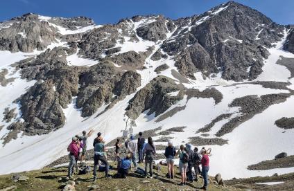
IRIMONT - Three days in the Ecrins: between rocky glaciers, accessibility of high-altitude areas, and AI for mountain risks
21 Jul 2026
News
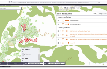
Digital platforms: the "intelligent mapping" building block, or mapping of hazards and risks through artificial intelligence
25 Jun 2026
News
Scientific days 2026
25 Jun 2026
News
International mobility of young scientists: 7 winning projects in 2026
13 Apr 2026
News
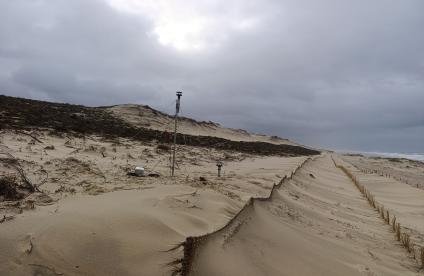
IRICOT: a scientific mission at the heart of storm Goretti
2 Apr 2026
News
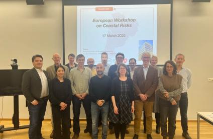
European workshop on coastal risks: the IRICOT project in Brussels
19 Mar 2026
News
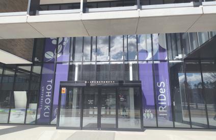
IRiMa Risks research program strengthens international ties: visit to IRIDeS, Tohoku University
16 Mar 2026
News
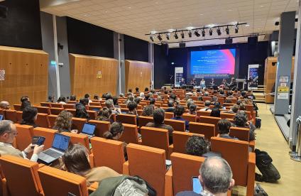
Towards integrated risk management: IRiMa shares its scientific vision with the X-RISKS project (PEPR FORESTT)
13 Feb 2026
News
Digital twins workshop for risk and crisis Management
16 Jan 2026
Pagination
Current page
1
Page
2
Page
3
Page
4
Next page
Last page
Back